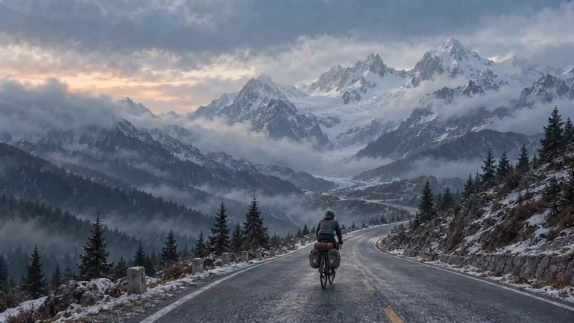
01 / Route scale
One road.
Not one kind of day.
2,050 kilometres connect Chengdu and Lhasa in this edition. The number is simple. The changing margins are not.
Chengdu → Lhasa · 2,050 km
An English cycling roadbook for the altitude, daylight and road decisions behind a 24-stage route.
Loading motionGenerated visual study · not documentary footage
A connected route model, with its limitations made explicit.
Daily route, elevation, daylight and decision structure.
A modelled route high point, not a surveyed pass height.
Current access and organised-itinerary terms still override the printed plan.
01 / The useful part
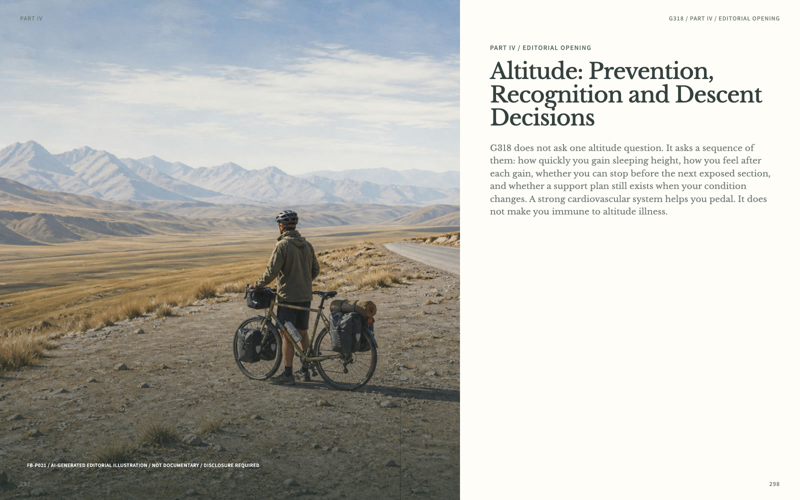
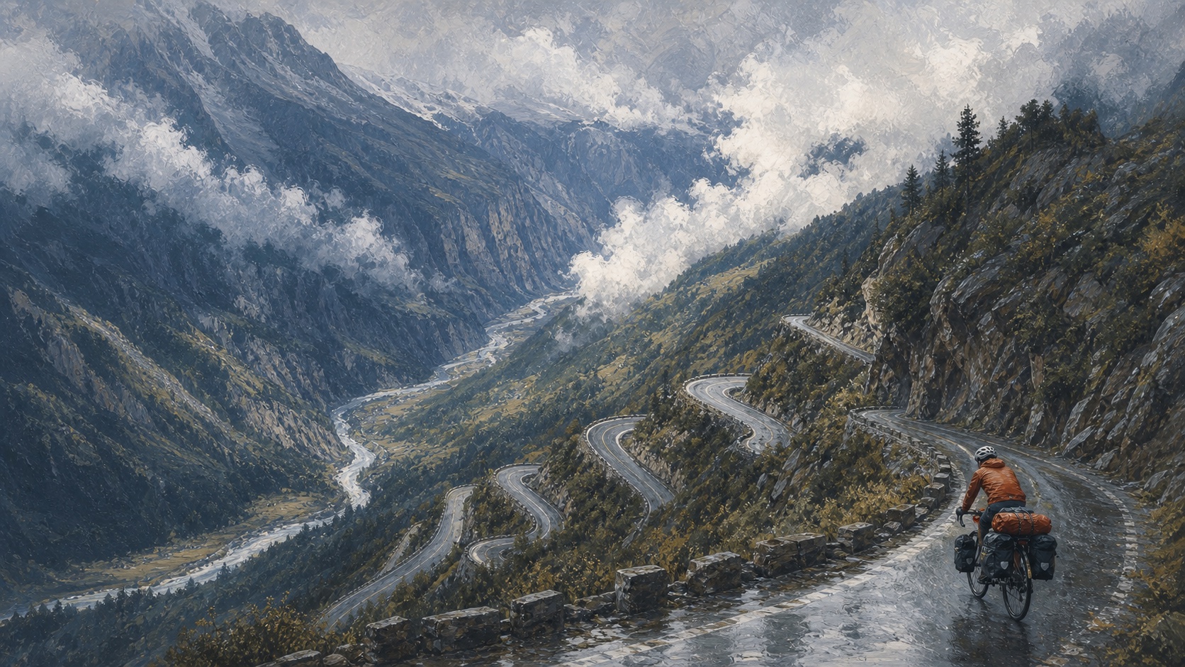
A photograph can show a high pass. It cannot show the daylight margin before the descent, the uncertain overnight, or the moment when another climb stops being a fitness problem and becomes a decision problem.
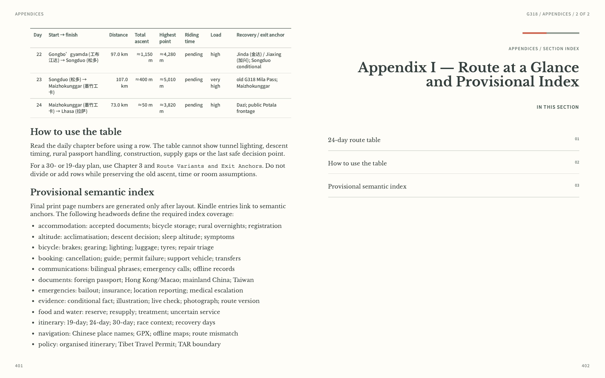
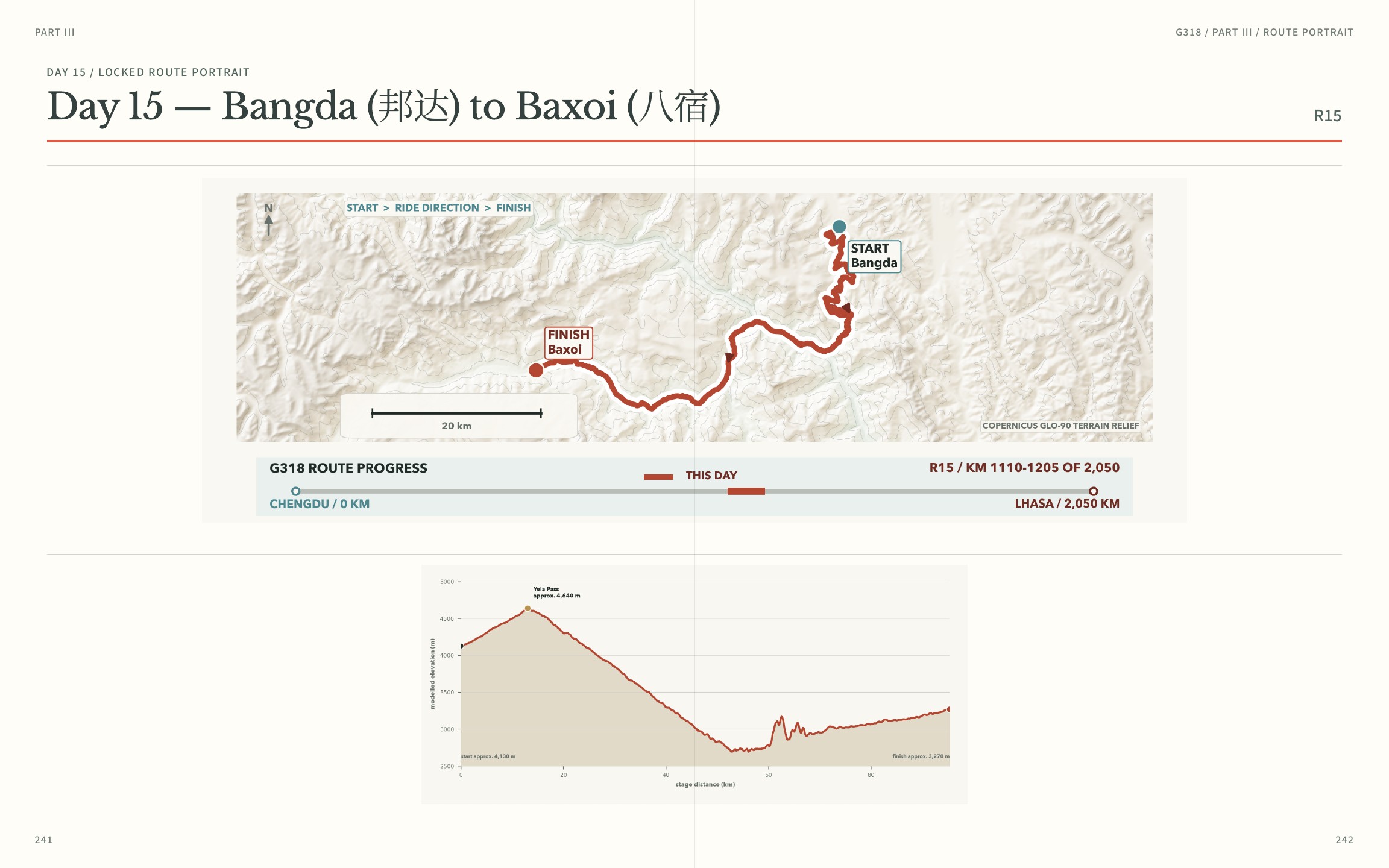
Twenty-four connected stages, modelled profiles, bilingual place names and the route relationships that matter before a wheel turns.
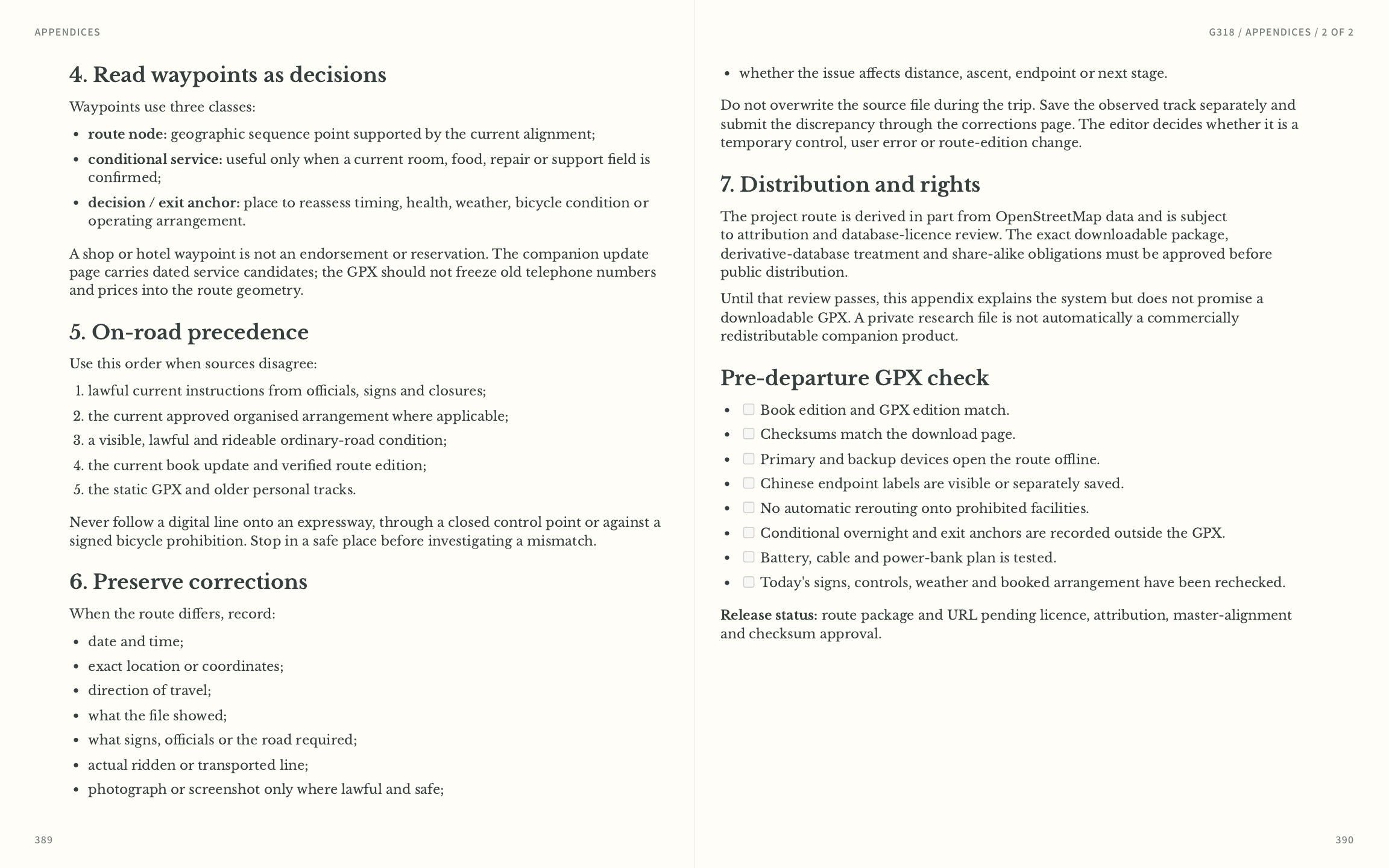
Daily decision points for weather, fatigue, food, road uncertainty, high altitude and the safe stopping problem.
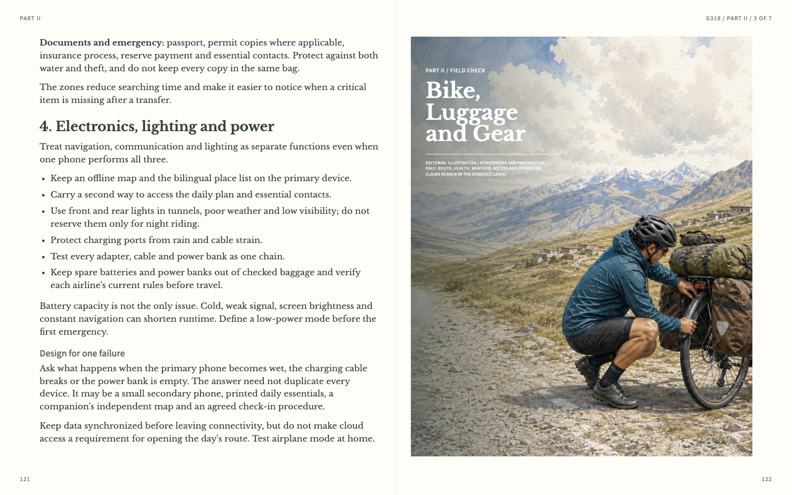
Lighting, power, offline navigation and repair choices are planned as one field system, not a packing-list afterthought.
02 / The operating boundary
One physical road, two operating realities. The printed route helps organise the ride; current access and organised-itinerary terms determine how it can be operated.
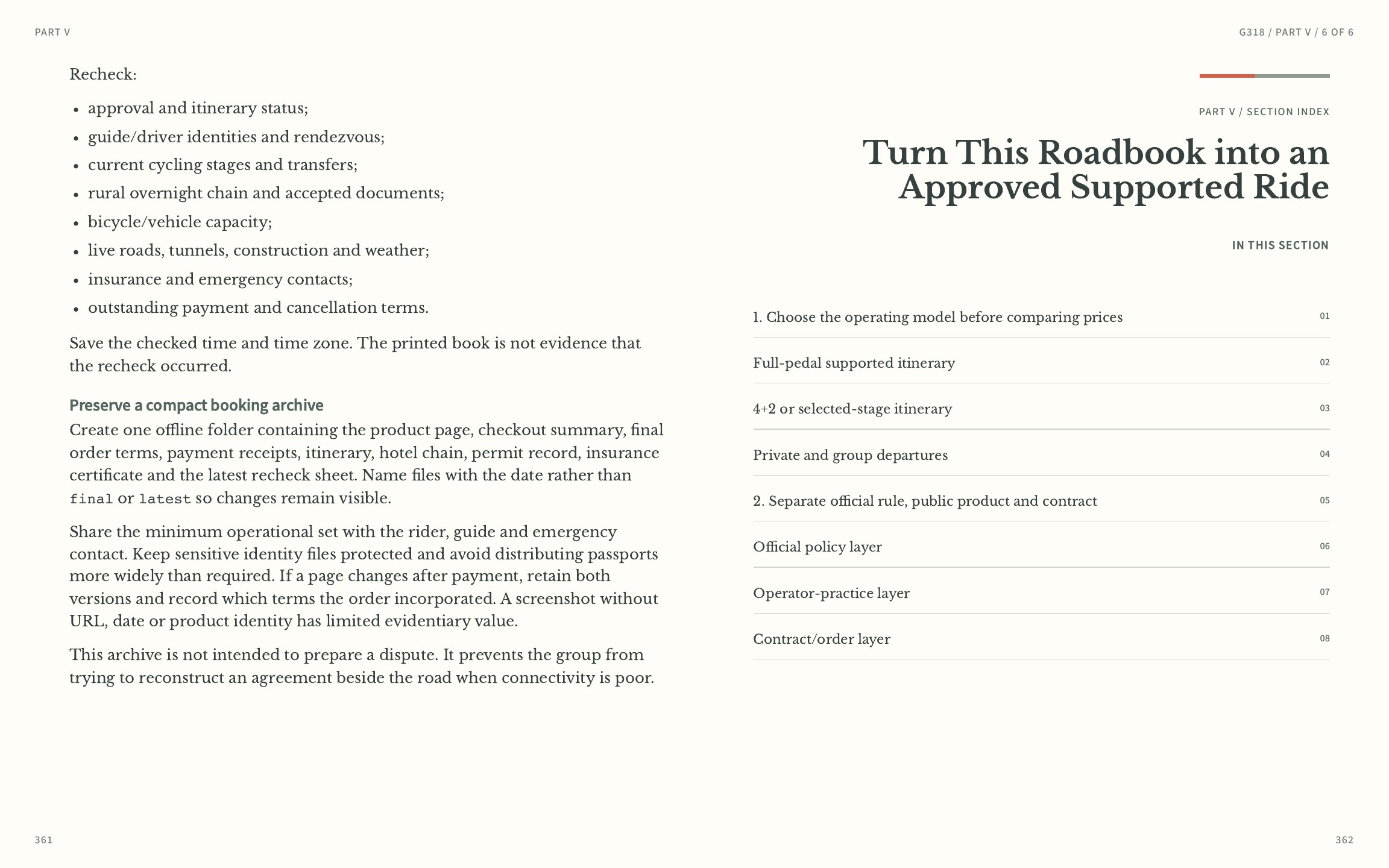
Use the shared roadbook for route, stops, equipment, navigation and decision structure. Recheck current local access before committing the day.
Resolve the current operator, guide, overnight, support and change-handling terms before non-refundable payment. The roadbook is planning guidance, not permission.
03 / A day page
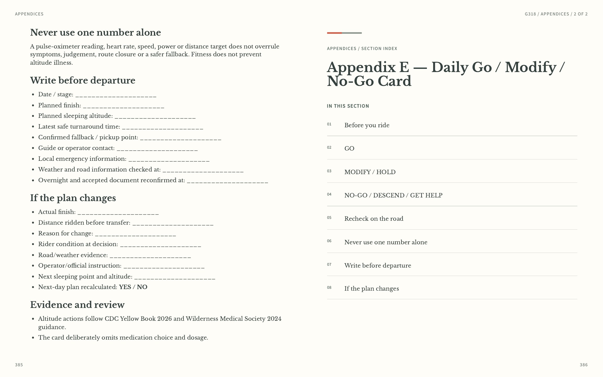
Each day is designed as an operating page, not a scenic caption. The route line, risk window and recheck notes live together.
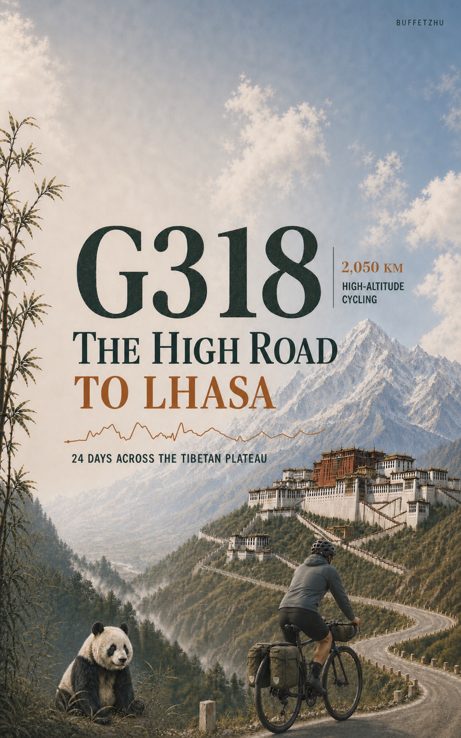
Kindle first edition · English
See the cover, full product description, current price and available sample on Amazon.
Planning guidance, not a live-access guarantee. Roads, permits, weather, services and operating conditions can change. ASIN B0HHYHDJXY.